
Backroad Mapbooks Kawartha Provincial Park Ontario
Quantity
-
Detail
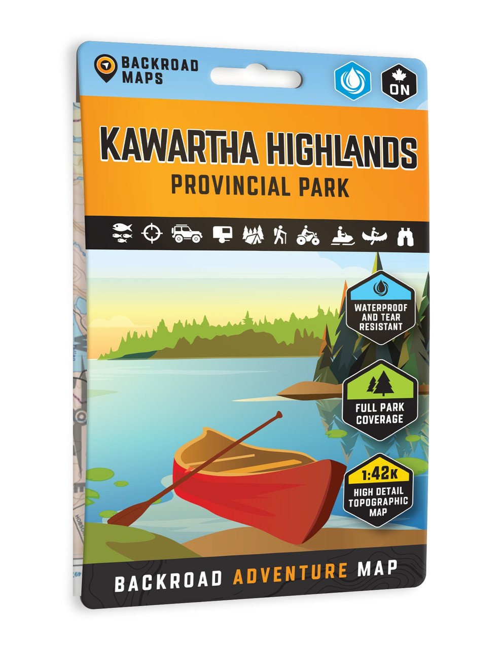
Navigate the full Kawartha Highlands Provincial Park"fromSerpentine Lake to Mississagua River"with a map built for real-world adventure.It shows every backcountry campsite, paddling route, portage, boat launch,fishing hotspot, and waterfall. Designed for canoe trippers, hikers, anglers,and campers, it's detailed enough to explore on a whim and tough enough to keepup.
- Waterproof synthetic paper resists paddles, rain, andcampfire soot
- Topographic contours \u0026 relief shading make terrainreading easy
- Compact size (13?�?21?cm folded / 70?�?100?cm unfolded) fits PFDs or daypacks
- Planning guide included, with park info, trails, paddlingroutes, outfitters, and angling highlights
-
Customer ReviewsNo comments